Geolocate

Saint-Pierre topographic map

Click on the map to display elevation.

About this map
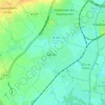
Name: Saint-Pierre topographic map, elevation, terrain.

Location: Saint-Pierre, Santes, Lille, Nord, Hauts-de-France, France métropolitaine, 59211, France (50.57855 2.93584 50.61855 2.97584)

Average elevation: 26 m

Minimum elevation: 17 m

Maximum elevation: 45 m

Other topographic maps

Click on a map to view its topography, its elevation and its terrain.

59211

France > Hauts-de-France > Nord > Santes > Le Marais

Average elevation: 23 m

Gear up for your next adventure:

🧤Hiking Gloves - Warm and durable gloves for cold-weather walks
🛌Sleeping Mats - Insulated mats for comfortable outdoor sleeping
🦟Anti-Midge & Tick Repellent - Vital for hiking in the Scottish Highlands during summer
🧺Ultralight Dry Bags - Organize and waterproof your gear inside your rucksack
🧴Tick Removal Tools - Small, essential health tool for UK woodland and moorland

As an Amazon Associate, this site earns from qualifying purchases at no extra cost to you.