
Torrent du Boi topographic map
Interactive map
Click on the map to display elevation.
About this map
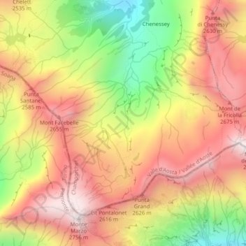
Name: Torrent du Boi topographic map, elevation, terrain.
Location: Torrent du Boi, Champorcher, Valle de Aosta, Italia (45.56875 7.61366 45.57720 7.61666)
Average elevation: 2,376 m
Minimum elevation: 1,894 m
Maximum elevation: 2,738 m