Geolocate

Navaling topographic map

Click on the map to display elevation.

About this map

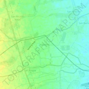
Name: Navaling topographic map, elevation, terrain.

Location: Navaling, Pampanga, Central Luzon, 2011, Philippines (15.25199 120.63780 15.29199 120.67780)

Average elevation: 37 m

Minimum elevation: 27 m

Maximum elevation: 48 m

Gear up for your next adventure:

🧼Camping Hygiene Kits - Compact hygiene essentials for outdoor stays
👕Merino Base Layers - Natural temperature regulation for cold weather hiking and camping
🪢Paracord - Multi-purpose cord for camping and survival
🧺Microfibre Travel Towels - Fast-drying and compact towels for wild swimming and camping
🔭Compact Hiking Binoculars - Lightweight optics for scouting terrain and spotting wildlife

As an Amazon Associate, this site earns from qualifying purchases at no extra cost to you.