Geolocate

Ibaba topographic map

Click on the map to display elevation.

About this map

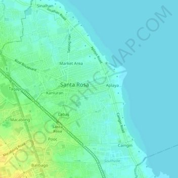
Name: Ibaba topographic map, elevation, terrain.

Location: Ibaba, Santa Rosa, Laguna, Calabarzon, 4026, Philippines (14.29351 121.09715 14.33351 121.13715)

Average elevation: 7 m

Minimum elevation: 0 m

Maximum elevation: 24 m

Gear up for your next adventure:

🧴Sport Sunscreen Sticks - High-protection sunblock that won't run into your eyes on the trail
Camping Shelters - Emergency and lightweight shelters for outdoor use
📦Compression Sacks - Reduce backpack volume efficiently
🎒Hiking Backpacks - Comfortable backpacks for day hikes and multi-day treks
🥾Women's Waterproof Hiking Boots - High-performance trekking boots designed for all-weather comfort

As an Amazon Associate, this site earns from qualifying purchases at no extra cost to you.