
San Vicente Ferrer topographic map
Interactive map
Click on the map to display elevation.
About this map
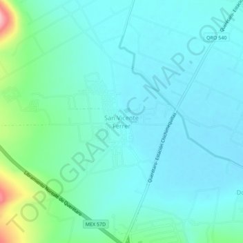
Name: San Vicente Ferrer topographic map, elevation, terrain.
Location: San Vicente Ferrer, El Marqués, Querétaro, México (20.70722 -100.36583 20.74722 -100.32583)
Average elevation: 1,965 m
Minimum elevation: 1,938 m
Maximum elevation: 2,091 m