
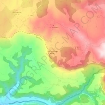
La Bastide des Fonts topographic map
Interactive map
Click on the map to display elevation.
About this map
Name: La Bastide des Fonts topographic map, elevation, terrain.
Average elevation: 694 m
Minimum elevation: 486 m
Maximum elevation: 877 m
Other topographic maps
Click on a map to view its topography, its elevation and its terrain.
Le Mas Raynal
France > Occitanie > Aveyron > Cornus
Le Mas Raynal, Cornus, Millau, Aveyron, Occitanie, France métropolitaine, 12540, France
Average elevation: 742 m