
Strijland topographic map
Interactive map
Click on the map to display elevation.
About this map
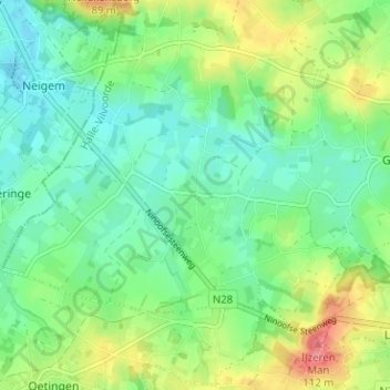
Name: Strijland topographic map, elevation, terrain.
Location: Strijland, Gooik, Vlaams-Brabant, Vlaanderen, 1755, België (50.77164 4.06450 50.81164 4.10450)
Average elevation: 48 m
Minimum elevation: 18 m
Maximum elevation: 111 m