
Banding topographic map
Interactive map
Click on the map to display elevation.
About this map
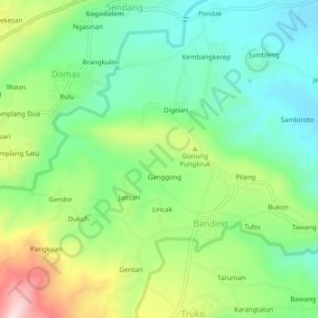
Name: Banding topographic map, elevation, terrain.
Location: Banding, Semarang, Indonesia (-7.27165 110.53765 -7.23165 110.57765)
Average elevation: 241 m
Minimum elevation: 123 m
Maximum elevation: 468 m