
Camba topographic map
Interactive map
Click on the map to display elevation.
About this map
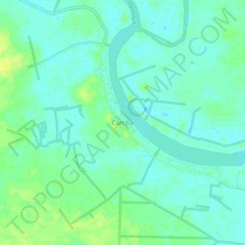
Name: Camba topographic map, elevation, terrain.
Location: Camba, Kalimantan Tengah, Indonesia (-2.37782 112.85532 -2.33782 112.89532)
Average elevation: 9 m
Minimum elevation: 2 m
Maximum elevation: 19 m