
将军山 topographic map
Interactive map
Click on the map to display elevation.
About this map
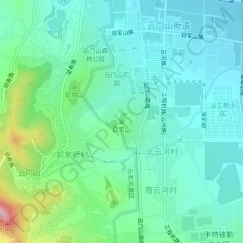
Name: 将军山 topographic map, elevation, terrain.
Location: 将军山, 潍坊市, 山东省, 262550, 中国 (36.65049 118.47231 36.65059 118.47241)
Average elevation: 164 m
Minimum elevation: 106 m
Maximum elevation: 370 m
Other topographic maps
Click on a map to view its topography, its elevation and its terrain.