
Δημοτική Ενότητα Εκάλης topographic map
Interactive map
Click on the map to display elevation.
About this map
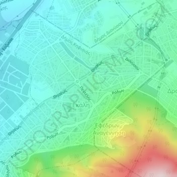
Name: Δημοτική Ενότητα Εκάλης topographic map, elevation, terrain.
Average elevation: 389 m
Minimum elevation: 273 m
Maximum elevation: 741 m