
Highest Point topographic map
Interactive map
Click on the map to display elevation.
About this map
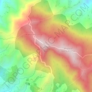
Name: Highest Point topographic map, elevation, terrain.
Location: Highest Point, Chitipa, Northern Region, Malawi, Malawi (-9.65274 33.54224 -9.65264 33.54234)
Average elevation: 1,654 m
Minimum elevation: 1,371 m
Maximum elevation: 1,883 m