
Karacaören topographic map
Interactive map
Click on the map to display elevation.
About this map
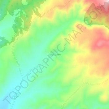
Name: Karacaören topographic map, elevation, terrain.
Location: Karacaören, Çorum Merkez, Çorum, Black Sea Region, Turkey (40.63228 34.94200 40.67228 34.98200)
Average elevation: 1,060 m
Minimum elevation: 908 m
Maximum elevation: 1,293 m