
Blowing Springs topographic map
Interactive map
Click on the map to display elevation.
About this map
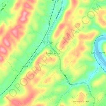
Name: Blowing Springs topographic map, elevation, terrain.
Average elevation: 315 m
Minimum elevation: 245 m
Maximum elevation: 387 m
Other topographic maps
Click on a map to view its topography, its elevation and its terrain.
Oak Ridge
United States > Tennessee > Anderson County
The highest point is Melton Hill (35°54′35″N 84°18′19″W / 35.90962°N 84.30525°W / 35.90962; -84.30525) on the DOE reservation, at elevation 1,356 feet (413 m).
Average elevation: 290 m
Oak Ridge
United States > Tennessee > Anderson County
The highest point is Melton Hill (35°54′35″N 84°18′19″W / 35.90962°N 84.30525°W / 35.90962; -84.30525) on the DOE reservation, at elevation 1,356 feet (413 m).
Average elevation: 290 m