Geolocate

Jaleshwar topographic map

Interactive map

Click on the map to display elevation.

About this map

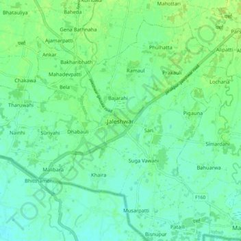
Name: Jaleshwar topographic map, elevation, terrain.

Location: Jaleshwar, Jaleswar, Mahottari, Madhesh Province, 45700, Nepal (26.60919 85.76009 26.68919 85.84009)

Average elevation: 65 m

Minimum elevation: 59 m

Maximum elevation: 71 m

Other topographic maps

Click on a map to view its topography, its elevation and its terrain.

Harkapur

Nepal > Madhesh Province > Mahottari

Harkapur, Bhangaha, Mahottari, Madhesh Province, Nepal

Average elevation: 97 m

Banara

Nepal > Madhesh Province > Mahottari

Banara, Bhangaha, Mahottari, Madhesh Province, Nepal

Average elevation: 118 m