
Pogo topographic map
Interactive map
Click on the map to display elevation.
About this map
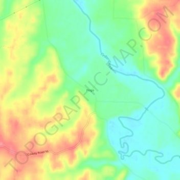
Name: Pogo topographic map, elevation, terrain.
Location: Pogo, Franklin County, Alabama, États-Unis d'Amérique (34.53732 -88.13383 34.57732 -88.09383)
Average elevation: 173 m
Minimum elevation: 137 m
Maximum elevation: 219 m