
Teluk Gong topographic map
Interactive map
Click on the map to display elevation.
About this map
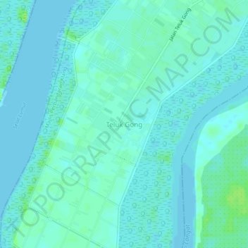
Name: Teluk Gong topographic map, elevation, terrain.
Location: Teluk Gong, Klang Municipal Council, Klang, Selangor, Malaysia (2.92150 101.35762 2.96150 101.39762)
Average elevation: 3 m
Minimum elevation: -1 m
Maximum elevation: 11 m
Other topographic maps
Click on a map to view its topography, its elevation and its terrain.