
Weston Lakes topographic map
Interactive map
Click on the map to display elevation.
About this map
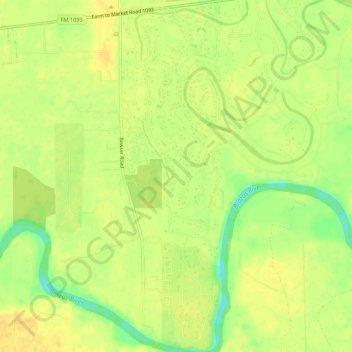
Name: Weston Lakes topographic map, elevation, terrain.
Location: Weston Lakes, Fort Bend County, Texas, United States (29.63757 -95.94411 29.68468 -95.92721)
Average elevation: 34 m
Minimum elevation: 16 m
Maximum elevation: 42 m