
Uitkerke topographic map
Interactive map
Click on the map to display elevation.
About this map
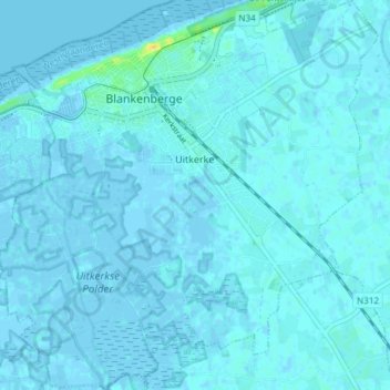
Name: Uitkerke topographic map, elevation, terrain.
Location: Uitkerke, Blankenberge, Brugge, West Flanders, Flanders, Belgium (51.27643 3.10434 51.32292 3.17703)
Average elevation: 1 m
Minimum elevation: -3 m
Maximum elevation: 23 m