Geolocate

Buswang topographic map

Click on the map to display elevation.

About this map

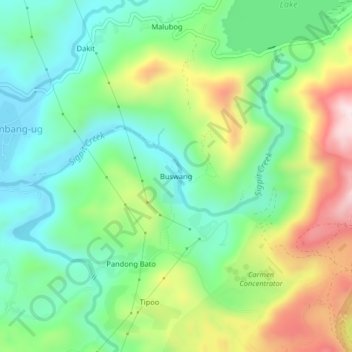
Name: Buswang topographic map, elevation, terrain.

Location: Buswang, Cambang-ug, Cebu, Central Visayas, Philippines (10.32724 123.68331 10.36724 123.72331)

Average elevation: 189 m

Minimum elevation: 26 m

Maximum elevation: 493 m

Gear up for your next adventure:

Lightweight Solo Tents - Backpacking tents designed for wild camping in the UK highlands
🔦LED Camping Lanterns - Illumination for reading maps inside your tent at night
Altimeter Watches - Watches measuring altitude for mountain activities
🔥Emergency Fire Starters - Reliable ignition tools for survival situations in damp conditions
🔪Outdoor Multi-Tools - Versatile tools for gear repairs and food prep in the wild

As an Amazon Associate, this site earns from qualifying purchases at no extra cost to you.