
Thank you for supporting this site ❤️
Make a donation
Make a donation
Gear up for your next adventure:
As an Amazon Associate, this site earns from qualifying purchases at no extra cost to you.
Nagpandayan topographic map
Click on the map to display elevation.
Thank you for supporting this site ❤️
Make a donation
Make a donation
Gear up for your next adventure:
As an Amazon Associate, this site earns from qualifying purchases at no extra cost to you.
About this map
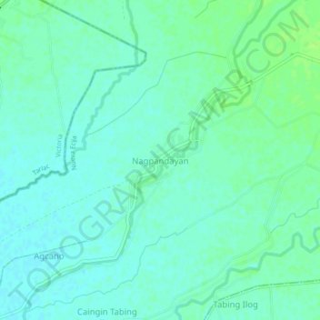
Name: Nagpandayan topographic map, elevation, terrain.
Location: Nagpandayan, Nueva Ecija, Central Luzon, Philippines (15.57172 120.73805 15.61172 120.77805)
Average elevation: 26 m
Minimum elevation: 21 m
Maximum elevation: 31 m
Thank you for supporting this site ❤️
Make a donation
Make a donation
Gear up for your next adventure:
As an Amazon Associate, this site earns from qualifying purchases at no extra cost to you.