
Hassi Khelifa topographic map
Interactive map
Click on the map to display elevation.
About this map
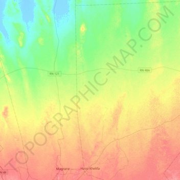
Name: Hassi Khelifa topographic map, elevation, terrain.
Location: Hassi Khelifa, Hassi Khelifa District, El Oued, Algeria (33.54051 6.96034 33.89370 7.35012)
Average elevation: 29 m
Minimum elevation: -8 m
Maximum elevation: 64 m
Other topographic maps
Click on a map to view its topography, its elevation and its terrain.
Trifaoui
Algeria > El Oued > Hassi Khelifa District
Trifaoui, Hassi Khelifa District, El Oued, Algeria
Average elevation: 67 m