
Markala topographic map
Interactive map
Click on the map to display elevation.
About this map
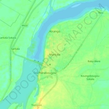
Name: Markala topographic map, elevation, terrain.
Location: Markala, Cercle de Ségou, Ségou, Mali (13.64586 -6.10861 13.72586 -6.02861)
Average elevation: 284 m
Minimum elevation: 276 m
Maximum elevation: 297 m