
Wausa topographic map
Interactive map
Click on the map to display elevation.
About this map
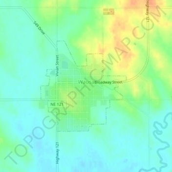
Name: Wausa topographic map, elevation, terrain.
Location: Wausa, Knox County, Nebraska, États-Unis (42.49154 -97.54763 42.50574 -97.52938)
Average elevation: 540 m
Minimum elevation: 526 m
Maximum elevation: 566 m