
Oost-Souburg topographic map
Interactive map
Click on the map to display elevation.
About this map
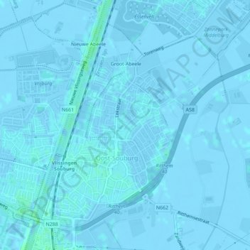
Name: Oost-Souburg topographic map, elevation, terrain.
Location: Oost-Souburg, Vlissingen, Seeland, Niederlande (51.45686 3.59210 51.47933 3.62242)
Average elevation: 0 m
Minimum elevation: -4 m
Maximum elevation: 4 m
Other topographic maps
Click on a map to view its topography, its elevation and its terrain.
Ritthem
Niederlande > Seeland > Vlissingen
Ritthem, Vlissingen, Seeland, Niederlande
Average elevation: 0 m