
Nunsdorf topographic map
Interactive map
Click on the map to display elevation.
About this map
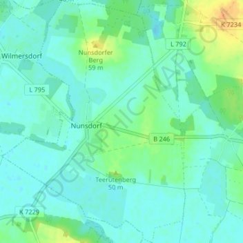
Name: Nunsdorf topographic map, elevation, terrain.
Location: Nunsdorf, Zossen, Teltow-Fläming, Brandenburg, Deutschland (52.21111 13.29178 52.25117 13.34164)
Average elevation: 42 m
Minimum elevation: 34 m
Maximum elevation: 60 m