
La Grulla topographic map
Interactive map
Click on the map to display elevation.
About this map
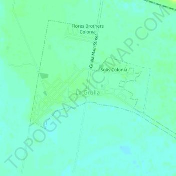
Name: La Grulla topographic map, elevation, terrain.
Location: La Grulla, Starr County, Texas, Estados Unidos (26.25872 -98.65835 26.28185 -98.62487)
Average elevation: 42 m
Minimum elevation: 37 m
Maximum elevation: 52 m