
Mavota topographic map
Interactive map
Click on the map to display elevation.
About this map
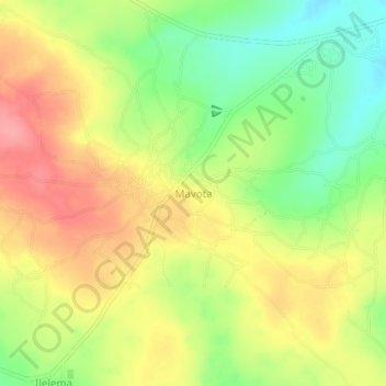
Name: Mavota topographic map, elevation, terrain.
Location: Mavota, Biharamulo, Kagera, Lake Zone, Tanzânia (-3.25806 31.47379 -3.21806 31.51379)
Average elevation: 1,226 m
Minimum elevation: 1,179 m
Maximum elevation: 1,269 m