
Hermitage topographic map
Interactive map
Click on the map to display elevation.
About this map
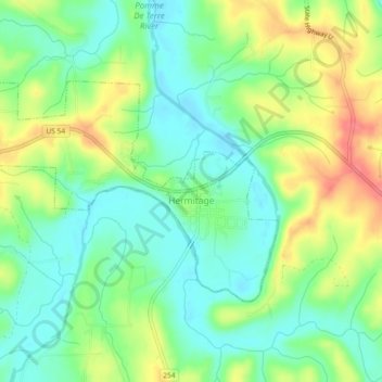
Name: Hermitage topographic map, elevation, terrain.
Location: Hermitage, Hickory County, Missouri, États-Unis (37.93175 -93.35210 37.95284 -93.30578)
Average elevation: 250 m
Minimum elevation: 225 m
Maximum elevation: 289 m