
Talas District topographic map
Interactive map
Click on the map to display elevation.
About this map
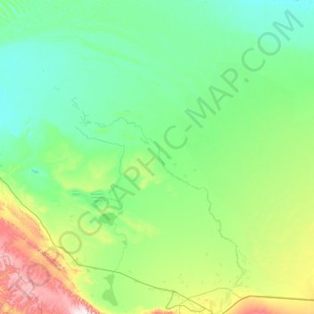
Name: Talas District topographic map, elevation, terrain.
Location: Talas District, Jambyl Region, Kazakhstan (42.91888 69.91694 44.48980 71.61440)
Average elevation: 447 m
Minimum elevation: 310 m
Maximum elevation: 1,457 m