
Kanga/Dein topographic map
Interactive map
Click on the map to display elevation.
About this map
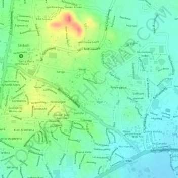
Name: Kanga/Dein topographic map, elevation, terrain.
Location: Kanga/Dein, Curacao, The Netherlands (12.14756 -68.94229 12.16005 -68.92702)
Average elevation: 34 m
Minimum elevation: 9 m
Maximum elevation: 80 m