
Wateringen topographic map
Interactive map
Click on the map to display elevation.
About this map
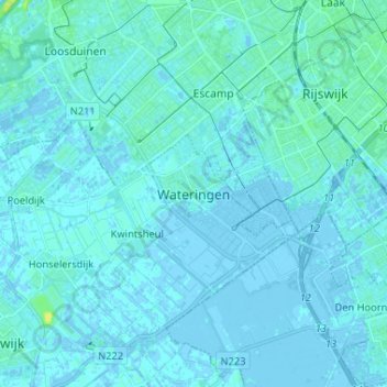
Name: Wateringen topographic map, elevation, terrain.
Location: Wateringen, Südholland, Niederlande, 2291DB, Niederlande (51.98351 4.23459 52.06351 4.31459)
Average elevation: 1 m
Minimum elevation: -5 m
Maximum elevation: 14 m