
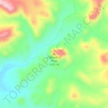
Cathedral Peak topographic map
Interactive map
Click on the map to display elevation.
About this map
Name: Cathedral Peak topographic map, elevation, terrain.
Location: Cathedral Peak, Presidio County, Texas, United States (30.00151 -104.49996 30.00161 -104.49986)
Average elevation: 1,375 m
Minimum elevation: 1,273 m
Maximum elevation: 1,542 m
Other topographic maps
Click on a map to view its topography, its elevation and its terrain.
Marfa
United States > Texas > Presidio County
Marfa, Presidio County, Texas, 79843, United States
Average elevation: 1,434 m
Marfa
United States > Texas > Presidio County > Marfa > Marfa
Marfa, Presidio County, Texas, 70843, United States
Average elevation: 1,448 m