
Belpahari topographic map
Interactive map
Click on the map to display elevation.
About this map
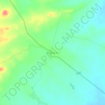
Name: Belpahari topographic map, elevation, terrain.
Location: Belpahari, Binpur-II, Jhargram District, West Bengal, India (22.61578 86.73992 22.65578 86.77992)
Average elevation: 140 m
Minimum elevation: 116 m
Maximum elevation: 200 m