
Römerhof topographic map
Interactive map
Click on the map to display elevation.
About this map
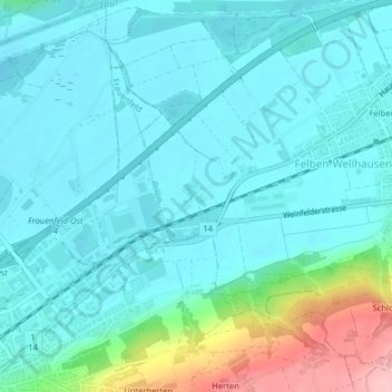
Name: Römerhof topographic map, elevation, terrain.
Location: Römerhof, Bezirk Frauenfeld, Turgovia, Suiza (47.57232 8.92314 47.57443 8.92602)
Average elevation: 415 m
Minimum elevation: 385 m
Maximum elevation: 543 m