Cerro Lirima topographic map
Interactive map
Click on the map to display elevation.
About this map
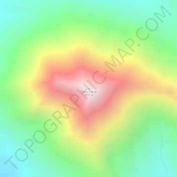
Name: Cerro Lirima topographic map, elevation, terrain.
Average elevation: 5,013 m
Minimum elevation: 4,597 m
Maximum elevation: 5,556 m

Click on the map to display elevation.
Name: Cerro Lirima topographic map, elevation, terrain.
Average elevation: 5,013 m
Minimum elevation: 4,597 m
Maximum elevation: 5,556 m