
Lake Vrana topographic map
Interactive map
Click on the map to display elevation.
Lake Vrana
The area of the lake is 30.7 square kilometres (11.9 sq mi), the elevation of its surface above sea level is only 0.1 metres (0.33 ft), while its maximum depth is 4 metres (13 ft).
About this map
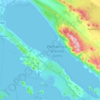
Name: Lake Vrana topographic map, elevation, terrain.
Location: Lake Vrana, Općina Pakoštane, Zadar County, Croatia (43.84783 15.50819 43.94137 15.64412)
Average elevation: 44 m
Minimum elevation: -8 m
Maximum elevation: 297 m