
Lyngør topographic map
Interactive map
Click on the map to display elevation.
About this map
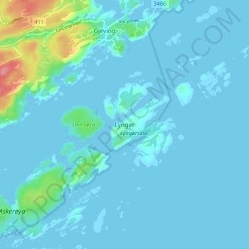
Name: Lyngør topographic map, elevation, terrain.
Location: Lyngør, Tvedestrand, Agder, 4912, Norway (58.61263 9.11015 58.65263 9.15015)
Average elevation: 9 m
Minimum elevation: -1 m
Maximum elevation: 87 m