Geolocate

Afga topographic map

Click on the map to display elevation.

About this map
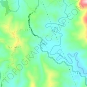
Name: Afga topographic map, elevation, terrain.

Location: Afga, Sibagat, Agusan del Sur, Caraga, 8503, Philippines (8.85370 125.63784 8.89370 125.67784)

Average elevation: 171 m

Minimum elevation: 73 m

Maximum elevation: 448 m

Gear up for your next adventure:

🛑Emergency Bivvy Bags - Heat-reflective survival bags for unexpected nights out
🥤Collapsible Water Bottles - Save space in your rucksack as you consume your water
🎒Hiking Daypacks - Compact backpacks ideal for short hikes and excursions
🛌Sleeping Bags - Warm and packable sleeping bags for outdoor nights
🗺️Topographic Maps - Detailed maps showing elevation and terrain features

As an Amazon Associate, this site earns from qualifying purchases at no extra cost to you.