
Dunbar topographic map
Click on the map to display elevation.
About this map
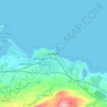
Name: Dunbar topographic map, elevation, terrain.
Location: Dunbar, East Lothian, Scotland, EH42 1ER, United Kingdom (55.96214 -2.55582 56.04214 -2.47582)
Average elevation: 24 m
Minimum elevation: -13 m
Maximum elevation: 226 m
East Lothian trails, hiking, mountain biking, running and outdoor activities
Other topographic maps
Click on a map to view its topography, its elevation and its terrain.