
Pedro Ruiz Gallo topographic map
Interactive map
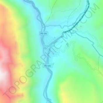
Click on the map to display elevation.
About this map
Name: Pedro Ruiz Gallo topographic map, elevation, terrain.
Location: Pedro Ruiz Gallo, Jazán, Bongará, Amazonas, 01130, Peru (-5.96597 -77.99793 -5.92597 -77.95793)
Average elevation: 1,598 m
Minimum elevation: 1,264 m
Maximum elevation: 2,352 m