
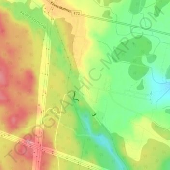
Saint-Jean-Vianney topographic map
Interactive map
Click on the map to display elevation.
About this map
Name: Saint-Jean-Vianney topographic map, elevation, terrain.
Average elevation: 95 m
Minimum elevation: 44 m
Maximum elevation: 142 m
Other topographic maps
Click on a map to view its topography, its elevation and its terrain.
Lac des Cônes
Canada > Québec > Ville de Saguenay
Lac des Cônes, Chemin du Lac-Damas, Arrondissement de Jonquière, Ville de Saguenay, Saguenay - Lac-Saint-Jean, Québec, Canada
Average elevation: 188 m