
Jinka topographic map
Interactive map
Click on the map to display elevation.
About this map
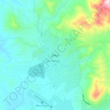
Name: Jinka topographic map, elevation, terrain.
Location: Jinka, South Omo, Südliche Nationen, Äthiopien (5.74599 36.52518 5.82599 36.60518)
Average elevation: 1,478 m
Minimum elevation: 1,325 m
Maximum elevation: 2,107 m