
Großarl topographic map
Interactive map
Click on the map to display elevation.
About this map
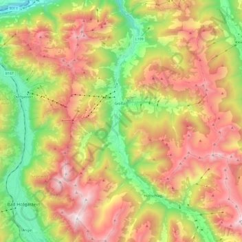
Name: Großarl topographic map, elevation, terrain.
Location: Großarl, Bezirk St. Johann im Pongau, Salzburg, 5611, Austria (47.14516 13.14574 47.30588 13.29921)
Average elevation: 1,491 m
Minimum elevation: 616 m
Maximum elevation: 2,445 m