
Kamal Khan Dam topographic map
Interactive map
Click on the map to display elevation.
About this map
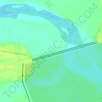
Name: Kamal Khan Dam topographic map, elevation, terrain.
Location: Kamal Khan Dam, Chahar Burjak, Nimruz Province, Afghanistan (30.32003 61.86709 30.32515 61.88712)
Average elevation: 517 m
Minimum elevation: 511 m
Maximum elevation: 525 m