
Charchorin topographic map
Interactive map
Click on the map to display elevation.
About this map
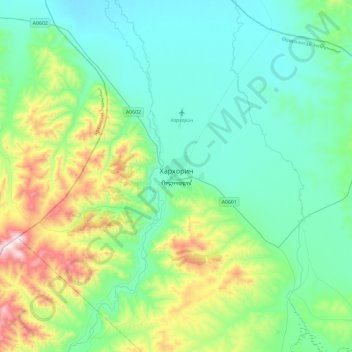
Name: Charchorin topographic map, elevation, terrain.
Location: Charchorin, Öwörchangai, Mongolei (47.03282 102.66022 47.35282 102.98022)
Average elevation: 1,592 m
Minimum elevation: 1,407 m
Maximum elevation: 2,249 m