
Numansdorp topographic map
Interactive map
Click on the map to display elevation.
About this map
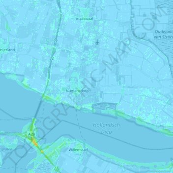
Name: Numansdorp topographic map, elevation, terrain.
Location: Numansdorp, Hoeksche Waard, Zuid-Holland, Nederland (51.69247 4.37270 51.76531 4.53502)
Average elevation: 0 m
Minimum elevation: -4 m
Maximum elevation: 20 m
Other topographic maps
Click on a map to view its topography, its elevation and its terrain.
Hoeksche Waard
Nederland > Zuid-Holland > Hoeksche Waard
Hoeksche Waard, Zuid-Holland, Nederland
Average elevation: 0 m