
Willemstad topographic map
Interactive map
Click on the map to display elevation.
About this map
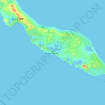
Name: Willemstad topographic map, elevation, terrain.
Location: Willemstad, Curaçao, 80210, Nederland (11.94912 -69.09165 12.26912 -68.77165)
Average elevation: 7 m
Minimum elevation: -1 m
Maximum elevation: 180 m