
1185 topographic map
Interactive map
Click on the map to display elevation.
About this map
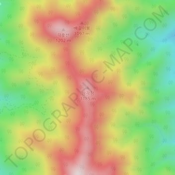
Name: 1185 topographic map, elevation, terrain.
Location: 1185, 영동군, Chungcheong do Norte, Coreia do Sul (36.05357 127.85080 36.05367 127.85090)
Average elevation: 906 m
Minimum elevation: 607 m
Maximum elevation: 1,202 m