
Fraser topographic map
Interactive map
Click on the map to display elevation.
About this map
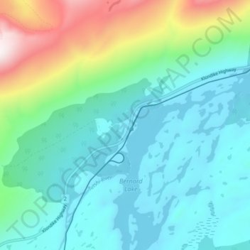
Name: Fraser topographic map, elevation, terrain.
Location: Fraser, Stikine Region, British Columbia, Canada (59.69530 -135.06799 59.73530 -135.02799)
Average elevation: 1,045 m
Minimum elevation: 837 m
Maximum elevation: 1,756 m